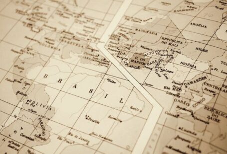
Cartography, the art and science of mapmaking, has a rich history that dates back thousands of years. From simple drawings on cave walls to intricate digital maps on our smartphones, the evolution of cartography has been a fascinating journey that has significantly impacted human civilization. Let’s dive into the history of cartography and explore how it has evolved over time.
Ancient Cartography: The Beginnings of Mapmaking
The origins of cartography can be traced back to ancient civilizations such as the Babylonians, Greeks, and Romans. These early mapmakers created simple representations of their surroundings on clay tablets and papyrus, primarily for navigation and military purposes. One of the most famous examples of ancient cartography is the Babylonian Map of the World, dating back to the 6th century BC, which depicts the world as a flat disc surrounded by water.
Medieval Cartography: The Age of Exploration
During the Middle Ages, cartography made significant advancements with the Age of Exploration. European explorers such as Christopher Columbus and Ferdinand Magellan embarked on voyages to discover new lands, leading to the creation of more accurate maps. The development of navigational tools like the astrolabe and compass further improved mapmaking techniques, allowing explorers to chart uncharted territories with greater precision.
Renaissance Cartography: The Golden Age of Mapmaking
The Renaissance period saw a flourishing of cartography with the likes of Gerardus Mercator and Abraham Ortelius producing highly detailed and accurate maps. The Mercator projection, developed by Mercator in the 16th century, revolutionized mapmaking by creating a cylindrical map projection that preserved angles and shapes, making it ideal for navigation. Ortelius, on the other hand, created the first modern atlas, “Theatrum Orbis Terrarum,” which compiled maps from around the world into a single volume.
Modern Cartography: From Paper Maps to Digital Mapping
The invention of the printing press in the 15th century marked a significant milestone in the history of cartography, allowing maps to be mass-produced and distributed widely. Throughout the centuries, advancements in surveying techniques, cartographic tools, and data collection methods have continued to refine the accuracy and detail of maps. The 20th century brought about the age of digital mapping, with the development of Geographic Information Systems (GIS) enabling the creation of interactive and dynamic maps that can be accessed and analyzed in real-time.
The Future of Cartography: Mapping in the Digital Age
In the 21st century, cartography has entered a new era with the widespread use of digital mapping technologies such as Google Maps and GPS navigation systems. These digital tools have revolutionized how we navigate and interact with maps, providing us with real-time updates, satellite imagery, and street views at our fingertips. The integration of artificial intelligence and machine learning in cartography is poised to further enhance the accuracy and usability of maps, ushering in a new era of smart mapping solutions.
In conclusion, the history of cartography is a testament to human ingenuity and curiosity in understanding the world around us. From ancient civilizations sketching maps on clay tablets to modern-day digital mapping technologies, cartography has evolved significantly over the centuries. As we continue to push the boundaries of mapmaking, the future of cartography holds endless possibilities for creating more accurate, immersive, and interactive maps that will shape how we navigate and perceive our world.


