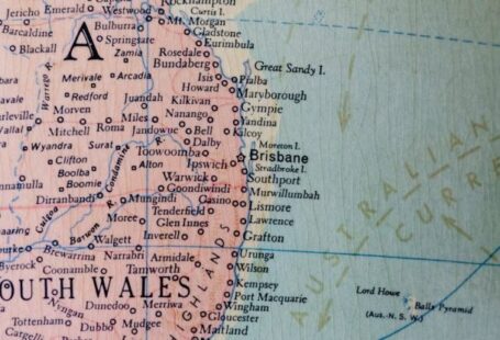
In the digital age, online mapping tools have revolutionized the way we approach geographic education. These tools offer a dynamic and interactive way to explore the world around us, providing students and educators with valuable resources to enhance their geographical knowledge. From satellite imagery to customizable layers, online mapping tools are changing the landscape of geographic education. Let’s delve into how these tools contribute to a deeper understanding of geography.
**Enhancing Visual Learning**
One of the primary ways in which online mapping tools contribute to geographic education is by enhancing visual learning. Traditional maps can be static and limited in their scope, whereas online mapping tools offer dynamic, interactive maps that allow users to zoom in and out, switch between different views, and explore various layers of information. This visual approach to learning enables students to engage with geographic concepts in a more immersive way, making it easier to grasp complex ideas and spatial relationships.
**Real-Time Data Integration**
Another key benefit of online mapping tools is the ability to integrate real-time data into maps. This feature allows students to explore up-to-date information on topics such as weather patterns, population demographics, and environmental changes. By visualizing this data on a map, students can gain a deeper understanding of how geography intersects with other disciplines and current events. For example, students can track the movement of hurricanes or monitor changes in land use patterns, providing a real-world context for their learning.
**Customizable Learning Experiences**
Online mapping tools also offer customizable learning experiences, allowing educators to tailor their lessons to meet the specific needs of their students. Teachers can create personalized maps with annotations, overlays, and interactive elements to support different learning objectives. This level of customization enables students to explore geographic concepts at their own pace and in a way that resonates with their individual learning styles. By empowering educators with tools to create engaging and interactive lessons, online mapping tools promote active learning and critical thinking skills.
**Global Perspective**
One of the most significant contributions of online mapping tools to geographic education is the opportunity to gain a global perspective. Through these tools, students can explore countries, cultures, and landscapes from around the world without leaving the classroom. This global perspective fosters an appreciation for diversity, encourages cross-cultural understanding, and helps students develop a more nuanced view of the interconnectedness of the world. By virtually exploring different regions and environments, students can expand their worldview and develop a sense of global citizenship.
**Promoting Spatial Literacy**
Lastly, online mapping tools play a crucial role in promoting spatial literacy among students. Spatial literacy refers to the ability to think spatially and understand the relationships between people, places, and environments. By engaging with maps and geographic information systems, students can develop essential spatial reasoning skills that are valuable across various disciplines. Spatial literacy is not just about reading maps but also about interpreting spatial patterns, analyzing data, and making informed decisions based on spatial information. Online mapping tools provide a platform for students to build these critical skills and become more spatially aware individuals.
**In Summary**
Online mapping tools have transformed the way geographic education is approached, offering a range of benefits that enhance learning experiences for students. From enhancing visual learning to integrating real-time data, these tools provide educators and students with valuable resources to explore the world in a dynamic and interactive way. By promoting spatial literacy, fostering a global perspective, and offering customizable learning experiences, online mapping tools are shaping the next generation of geographically literate individuals. Embracing these tools in the classroom opens up a world of possibilities for engaging with geography and understanding the world around us.


