Benchmarks play a vital role in the field of topography, providing essential reference points for surveyors and engineers to accurately measure and map the Earth's surface. These benchmarks act as fixed, stable points that allow for …
Author: map-craft
Cartography, the art and science of mapmaking, has a rich history that dates back thousands of years. From simple drawings on cave walls to intricate digital maps on our smartphones, the evolution of cartography has been …
In the digital age, the integration of GPS data into custom maps has revolutionized the way we navigate and explore the world around us. By harnessing the power of GPS technology, individuals and businesses can create …
Designing a city map for tourists is a crucial aspect of ensuring visitors can navigate a new destination efficiently. A well-crafted map can enhance the overall experience for tourists, providing them with a clear layout of …
Field sketching is a fundamental skill for cartographers, enabling them to capture essential details of a particular area directly on-site. The ability to create accurate and detailed sketches in the field is crucial for producing high-quality …
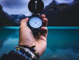
Topographic maps and compasses are essential tools for navigating through the wilderness, providing a reliable means of orienting yourself and finding your way in various terrains. Whether you are an avid hiker, a passionate camper, or …
Digital Elevation Models (DEMs) have revolutionized the way we visualize and represent landscapes in 3D maps. These detailed models provide crucial information about the topography of an area, allowing for more accurate and realistic visualizations. But …
Cartography is the art and science of creating maps, and professional cartographers play a crucial role in various industries, from urban planning to environmental conservation. Field mapping, in particular, is a key aspect of cartography that …
Color schemes play a crucial role in the design and interpretation of maps. They help convey information effectively, differentiate between various map elements, and enhance overall visual appeal. When it comes to selecting color schemes for …
Creating digital topographic maps requires a combination of specialized tools and software to accurately capture and represent the Earth's surface features. Topographic maps are essential for a variety of applications, including urban planning, natural resource management, …
In the realm of cartography and geographical data collection, the integration of traditional field sketching techniques with modern digital mapping technologies has proven to be a powerful combination. While digital mapping tools have revolutionized the way …
Creating cartographic products involves transforming raw data into visually appealing maps that effectively communicate spatial information. Field sketches serve as the initial step in this process, capturing real-world features directly on paper. However, the question arises: …
Navigational technology has come a long way from the days of relying solely on traditional tools like maps, compasses, and sextants. With the advent of GPS (Global Positioning System), navigating from point A to point B …
In today's fast-paced world, technology plays a pivotal role in simplifying various aspects of our daily lives. One such area that has seen significant innovation is navigation tools. With the rise of smartphone navigation apps, the …
Climate maps are an essential tool for understanding and visualizing the complex patterns of climate across the globe. By using a combination of data sources and visualization techniques, climate maps provide valuable insights into temperature, precipitation, …
Creating a topographic map from scratch may seem like a daunting task, but with the right tools and techniques, it can be a rewarding and insightful process. Whether you need a topographic map for a school …
Navigating the vast expanse of the open seas has been a challenge for mariners for centuries. While modern technology has introduced advanced navigation systems, nautical charts remain an essential tool for mariners to safely navigate through …
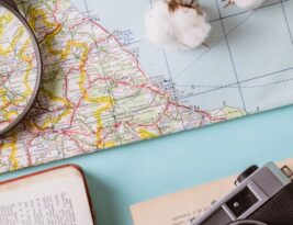
Understanding how to read a map is a valuable skill that can come in handy in various situations, from navigating unfamiliar territories to planning a road trip or even exploring the great outdoors. Maps provide us …
Cultural landscapes are a reflection of the interactions between human societies and the environment over time. They encompass a wide range of physical and intangible elements, including buildings, monuments, traditions, and beliefs. Mapping cultural landscapes is …
Field sketching is a captivating art form that allows artists to capture the essence of a scene directly from observation. Whether you are a beginner looking to improve your skills or an experienced artist seeking to …


